- Bio page
- Mozey
- Joined
- Feb 7, 2024
- Last login
- Dec 21, 2024
- Total posts
- 258 (11 FO)
Children:
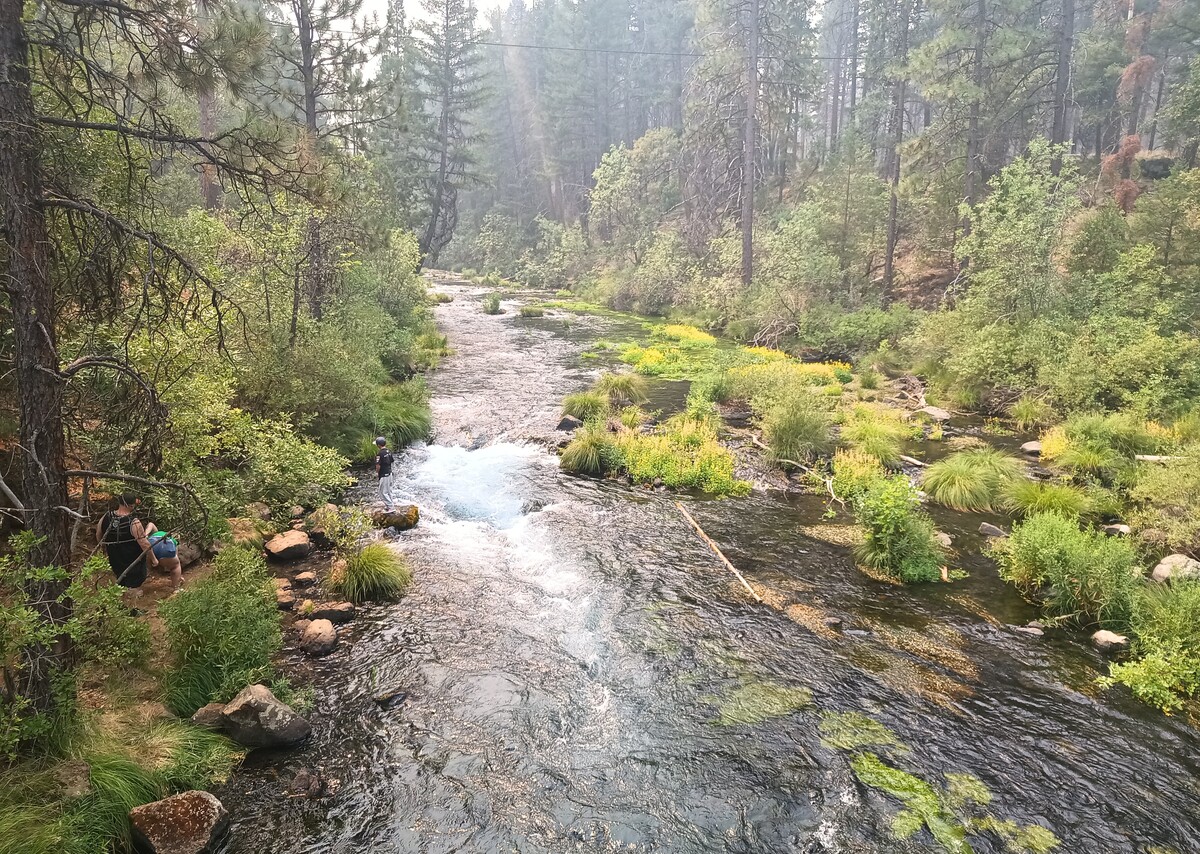
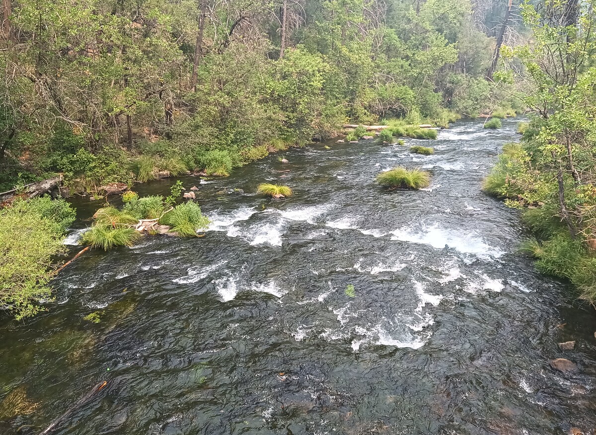
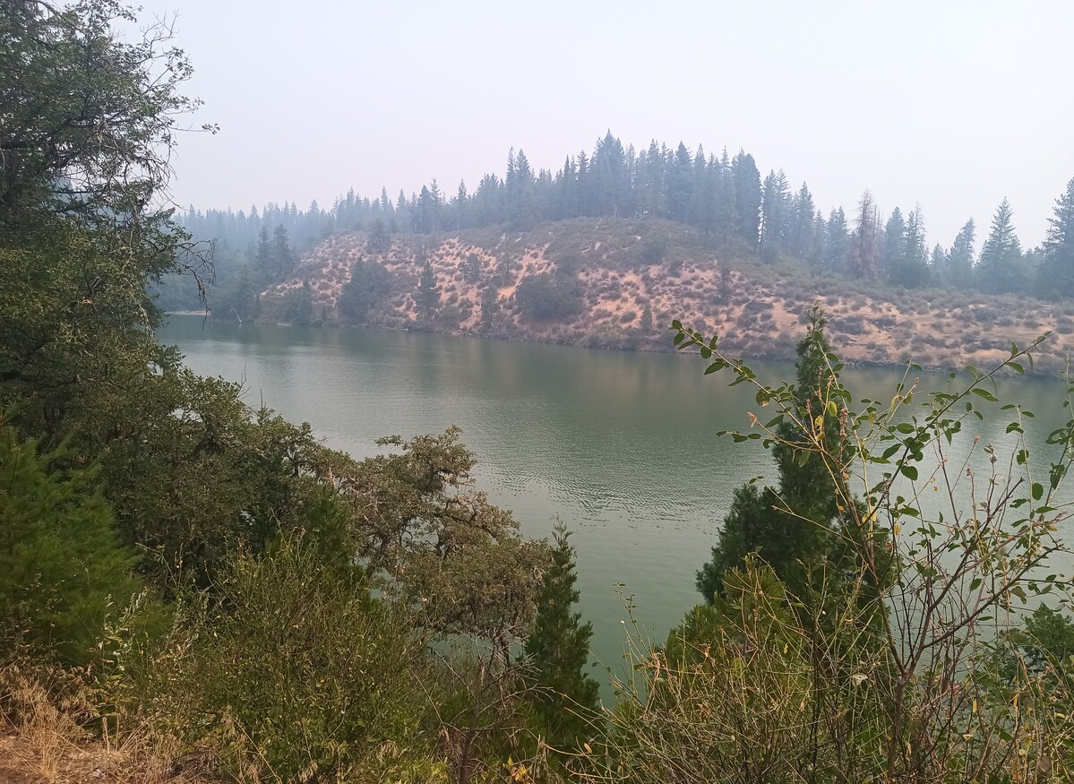
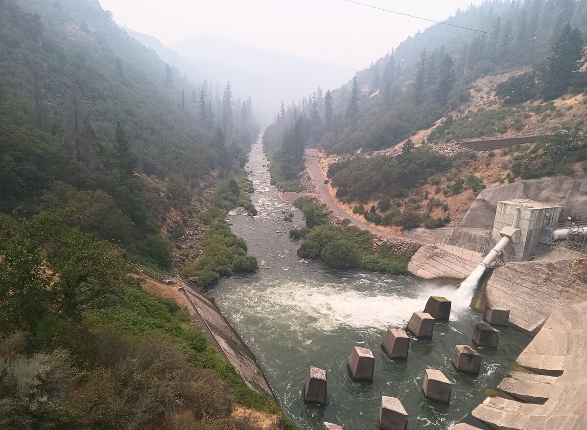
PCT I-5 to Etna (Mozey, Aug 4, 2024 at 10:24am)
Other Related Threads:
Lucky and unlucky elk hunt (Mozey, Oct 24, 2024 at 9:48am)
RE: PCT: Harts Pass to Canada and back. (Mozey, Oct 10, 2024 at 11:03am)
PCT: flying to Seattle today. (Mozey, Sep 30, 2024 at 10:20am)
PCT: Break for eight day rocky mountain goat hunt in NW British Columbia (Mozey, Sep 30, 2024 at 10:12am)
PCT: Break for dall sheep hunt in ANWR (Mozey, Sep 13, 2024 at 6:08pm)
PCT Chimult to Sisters (Mozey, Aug 20, 2024 at 7:15am)
PCT Crater Lake to Chemult (Mozey, Aug 15, 2024 at 7:24am)
PCT Ashland to Crater Lake (Mozey, Aug 15, 2024 at 7:11am)
PCT Etna, CA to Ashland, OR (Mozey, Aug 9, 2024 at 7:19am)
PCT Chester to Burney (Mozey, Jul 27, 2024 at 7:28pm)
PCT Quincy to Chester (Mozey, Jul 24, 2024 at 9:32am)
PCT: I-80 to Quincy (Mozey, Jul 21, 2024 at 9:48am)
PCT: South Lake Tahoe to I-80 (Mozey, Jul 16, 2024 at 6:40am)
PCT: Took a few days off trail to go on an Alaskan cruise with my family. (Mozey, Jul 6, 2024 at 9:53pm)
<< Deleted >> (Mozey, Jul 6, 2024 at 9:46pm)
PCT: Kennedy Meadows North to South Lake Tahoe. (Mozey, Jun 24, 2024 at 1:21pm)
PCT: Mammoth to Kennedy Meadows North (Mozey, Jun 20, 2024 at 5:36pm)
PCT: Bishop to Mammoth (Mozey, Jun 14, 2024 at 10:03am)
PCT: Lone Pine to Bishop (Mozey, Jun 10, 2024 at 9:56am)
PCT: Walker Pass to Lone Pine (Mozey, May 24, 2024 at 4:04pm)
PCT: Tehachapi to Walker Pass (Mozey, May 17, 2024 at 8:20pm)
PCT Acton to Tehachapi (Mozey, May 5, 2024 at 8:47am)
PCT Big Bear Lake to Acton (Mozey, Apr 30, 2024 at 7:30am)
PCT I-10 to Big Bear Lake (Mozey, Apr 21, 2024 at 12:41pm)
Messages
Time
Aug 1, 8:00am
Wow. What a miracle! Amazing you found the phone. What are the temperatures like? Are there big swings?
Aug 1, 8:21am
Aug 1, 8:40am
Aug 1, 8:32am
